Estimated Rainfall Totals Map From June 2018 Flooding
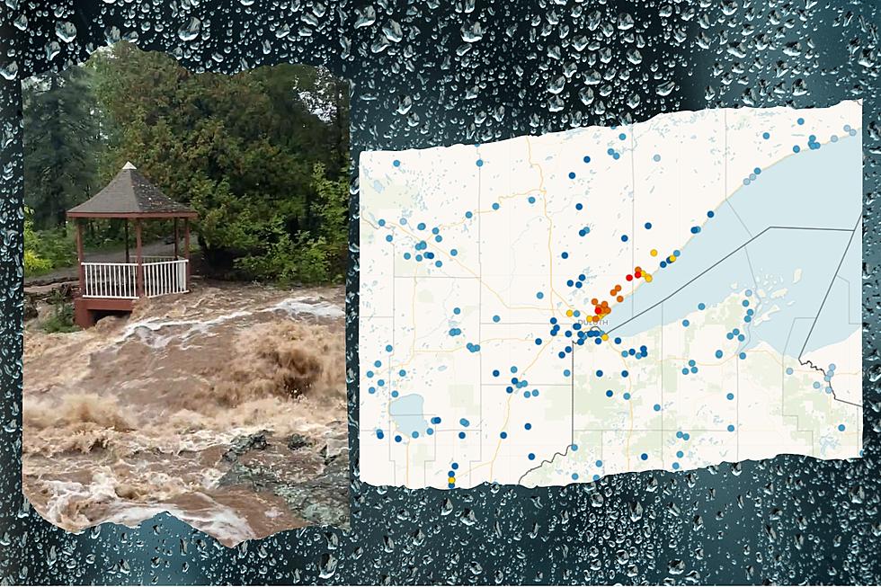
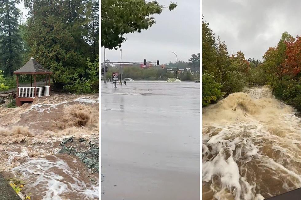
A series of thunderstorms bringing torrential rain from Friday, June 15 through Sunday, June 17 brought with them several inches of rain, causing flooding and damaging roads from East Central Minnesota through much of Northern Wisconsin and into the Michigan Upper Peninsula. Friday's storms alone caused street flooding around the Twin Ports and much more significant flooding between Ashland and Ironwood.
A second round of heavy rain on Saturday night further exacerbated the issue, with the National Weather Service warning the public of dangerous flooding conditions across the region, primarily in an expanse from the Holyoke/Foxboro area in Minnesota extending through Northern Wisconsin and into Michigan's Upper Peninsula. After this second round of rain, a large number of reports of roads damaged or washed out poured in.
A stretch of Highway 23 in Carlton County was destroyed by flood waters along with several other roads in Carlton County also seeing flood impacts. Douglas County in Wisconsin has actually declared a state of emergency due to the amount of flooding and road closures/damage from these storms. They've been sharing updates on closed roadways via their website. Ashland, Bayfield, and Iron Counties also saw extreme flooding impacting a number of roadways.
An observed precipitation map from the National Weather Service (below) paints the picture of where the greatest rainfall occurred, showing rainfall totals in excess of 10 inches in three different areas in Wisconsin, with some reports of as much as 15 inches of rain during the course of these storms. Beyond that band of heaviest rainfall lies an area that saw between 5 and 10 inches of rain that spans from Lake Superior to areas as far south as Hayward and Ladysmith and from Lake Mille Lacs through the Moose Lake and Sandstone areas all the way into the Michigan Upper Penninsula.
Moving from west to east, the three target zones of heaviest rainfall in excess of 10 inches include just south of Pattison Park, extending from just inside the Wisconsin border to about two miles west of County Road E. The second zone is between Highway 27 and Grand View, including all of Drummond and areas between Delta and Cable. The third zone is just east of Copper Falls State Park and Mellen, extending through the Upson area and toward Gile along Highway 77.
While this map would indicate that the heaviest rain fell south of Highway 2, streams and rivers heading north toward Lake Superior have created flooding and road damage issues for a number of towns including Superior, Ashland, and many points between along Highway 2.
The National Weather Service says while we aren't expecting any more significant chances of rain this week, flooding will still be an issue through midweek as streams and rivers slowly return to normal levels.
More From MIX 108