First Winter Weather Advisory of the 2015 Season For the Twin Ports Region
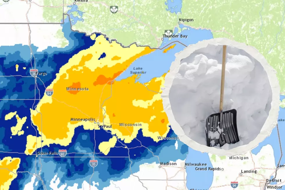
As a strong fall storm system approaches the Duluth-Superior area, it's looking likely it will deliver the first measurable snowfall and make for messy driving conditions. The system, which will track snow into the area later today (Thursday), has prompted the National Weather Service to post a winter weather advisory for much of the area.
As you can see in the map below, there is an advisory, warning, or cautionary message of one form or another for the entire area. The purple areas (MN Arrowhead, Iron Range, and WI South Shore) are under a winter weather advisory from 2 pm Thursday to 8 am Friday, where 3-5 inches of snow could fall over the course of the advisory. A couple of pockets of 6 or more inches of snow are possible in the snowbelt area of Northern Wisconsin. Slushy, untreated roads are a concern for travelers during this time.
The rest of the area, including Duluth, is covered by a hazardous weather outlook calling for a dusting to upwards of 1-3 inches of snow between Thursday afternoon and Friday morning. Slushy, untreated roads are a concern for travelers during this time.
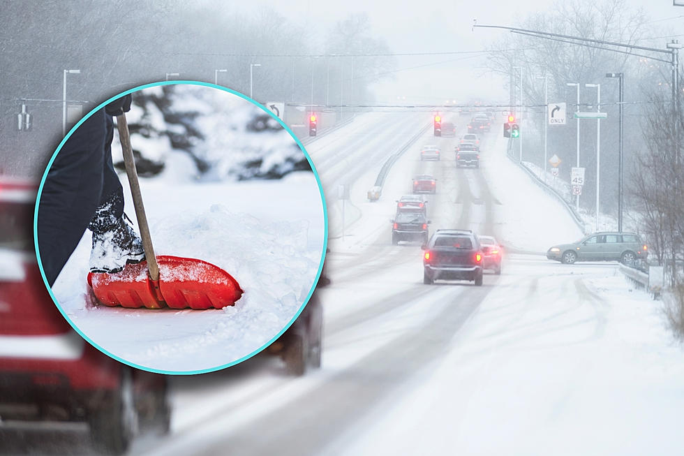
Officials are stressing that drivers around the entire area should take extra care while driving tonight and tomorrow morning, as roads have not been treated yet for the season for winter conditions, so roads could be particularly slick.
More From MIX 108