Heavy and Wet Snow Heading for the Duluth / Superior Region Prompts a Winter Storm Warning
As the previously-issued winter storm watch mentioned, a significant snowstorm will be hitting a large portion of Minnesota and Wisconsin through the second half of the weekend and into Monday.
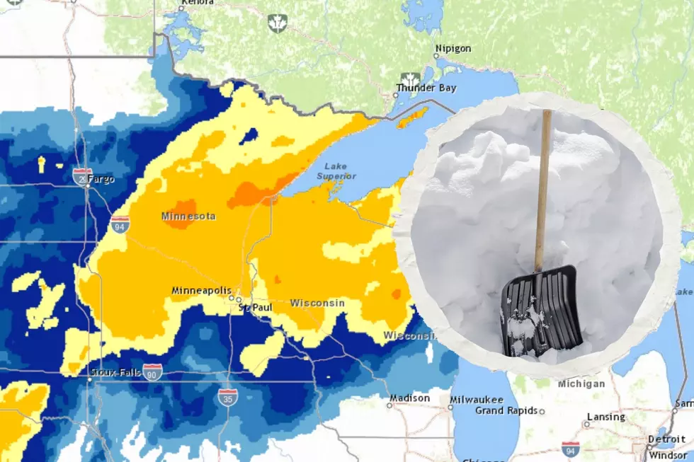
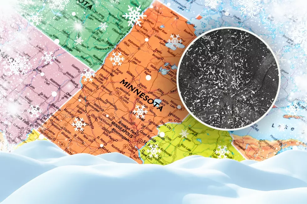
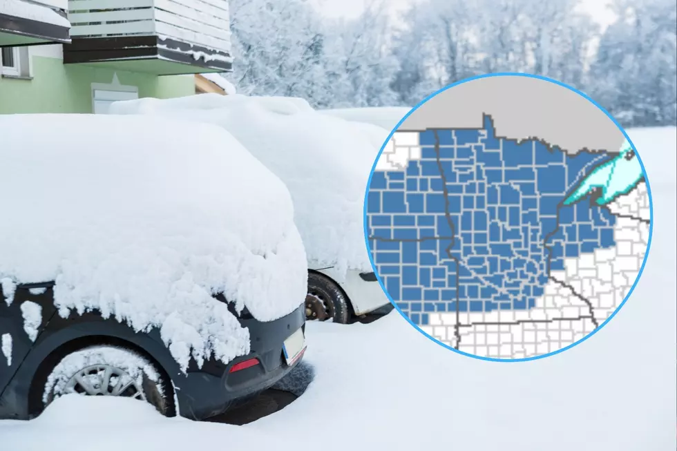
This major snow event continues to develop, prompting the National Weather Service in Duluth to issue a winter storm warning for all of Central, East Central, and Northeast Minnesota and Northwestern Wisconsin. The warning goes into effect for Central and East Central Minnesota at 12 am Sunday, and at 6 am Sunday for Northeast Minnesota and Northwestern Wisconsin.
How Much to Expect
The storm will creep into our area during the early morning hours of Sunday, likely starting as a wintry mix of precipitation and eventually turning to all snow. As the snow continues to push through the region, 6-10 inches of snow is expected across the entire warned area, with locally higher amounts possible, especially along the Lake Superior North and South Shore where 10-14+ inches are possible. With temperatures near 32 degrees during much of this storm, snowfall will be wet and heavy.
Storm Timeframe
The heaviest snowfall is expected on Sunday morning and into the afternoon, slowly reducing in intensity through the late night hours of Sunday and into Monday. Lingering light to moderate snow is expected through the day on Monday following the initial heavy snowfall.
Wind will be a factor with this storm, as 10-25 MPH wind will be associated with this storm. The combination of heavy snowfall and windy conditions will drop visibility, making travel difficult. While the heaviest of the snow is expected before Sunday night, there is still a possibility Monday's morning commute could be impacted. Be sure to visit our road conditions and school closings pages for up-to-date information.
Winter Storm Warning
More From MIX 108