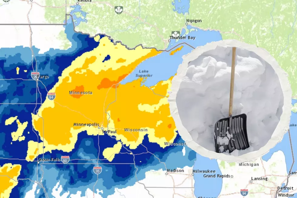
Weekend Winter Storm Looks to Drop Several Inches of Snow on the Duluth / Superior Region
As the weather forecast for this weekend becomes clearer, it is becoming more evident that the Twin Ports and folks along the North and South Shores can expect several inches of snow in what could be our first major snow event of this season.
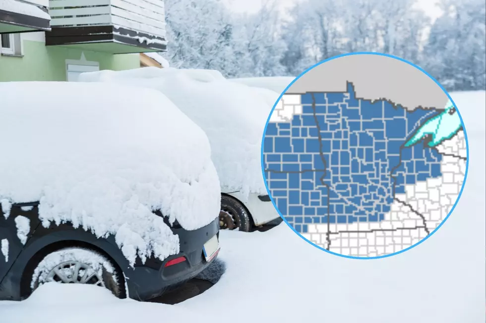
This approaching storm system has prompted the National Weather Service to issue a winter storm watch that goes into effect Sunday afternoon and remains in effect through Monday night.
Snow will start falling in the region in the early afternoon hours of Sunday and pick up in intensity as the day goes on. There is a potential for the early part of this storm to bring a wintry mix before changing completely to snow. The heaviest snowfall will occur Sunday night, with remaining light to moderate snowfall persisting through the day on Monday. Snowfall totals will vary widely with this system, but it is generally expected that the region could see at least 6 inches or more of snow.
Stay tuned for further updates, and as always we have the latest road information and school closings for you as well.
UPDATE (02/09/13 - 11:30 am) - This storm has prompted a winter storm warning.
Winter Storm Watch
More From MIX 108