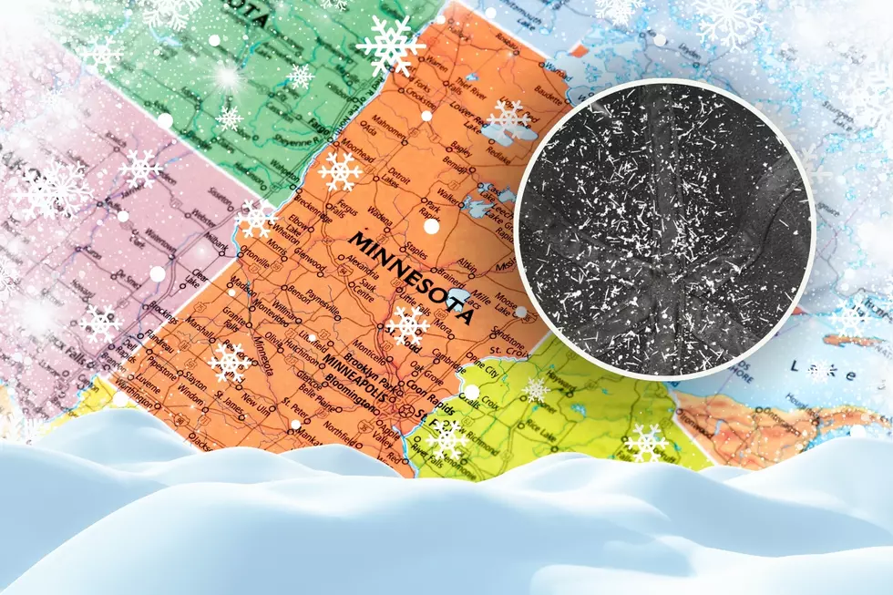
Winter Storm Warning Issued for Duluth / Superior Area and Surrounding Region
We've been upgraded. The winter storm watch that was issued yesterday has been upgraded by the National Weather Service to a winter storm warning - and the snowfall predictions have gone up too.
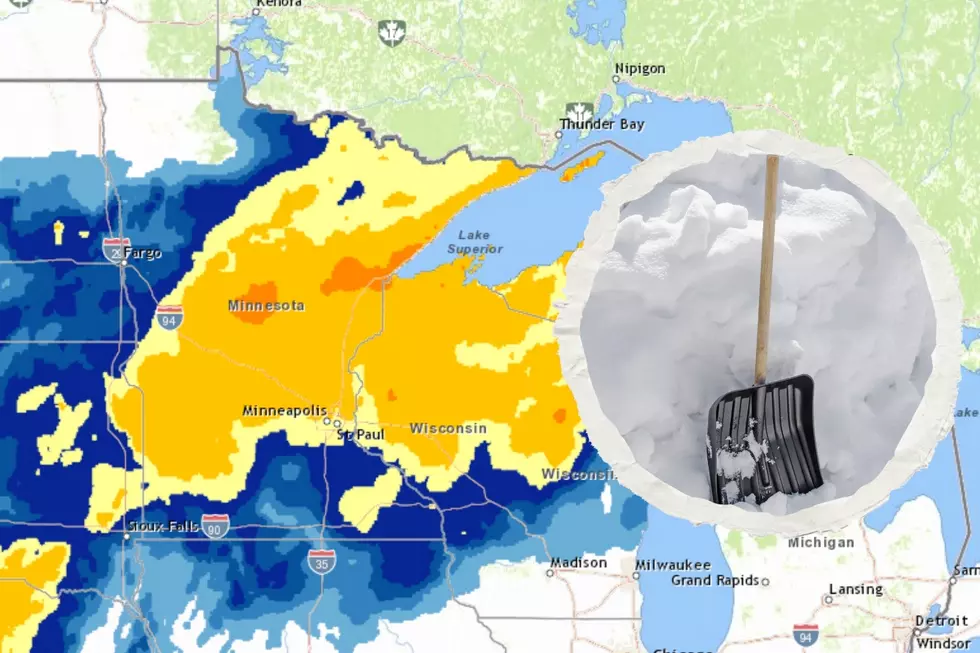
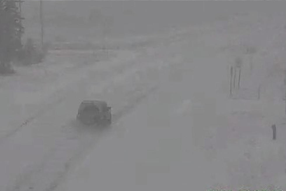
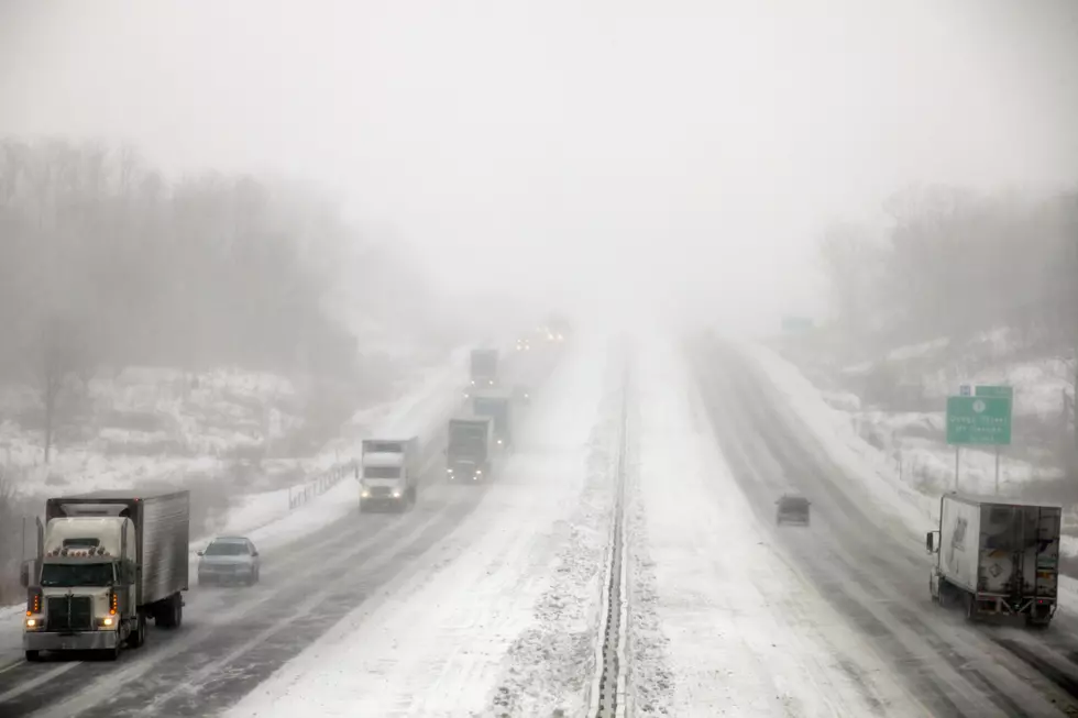
The latest information about the approaching storm has a Winter Storm Warning going into effect tonight (Saturday) at 10 pm, and continuing through midnight on Sunday. This means heavy snowfall, strong wind, and falling temperatures will make travel dangerous. This storm is expected to impact all of Northeastern Minnesota and Northwestern Wisconsin as it moves through.
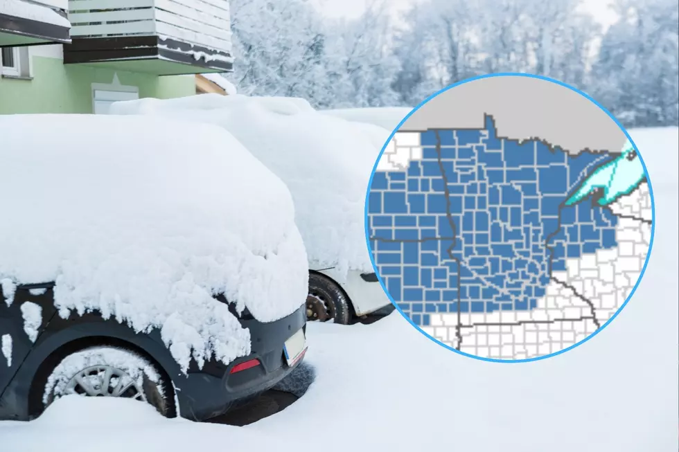
On the map below, the gray areas are under a Winter Storm Warning and the white areas are under a Winter Weather Advisory, which is an important but less severe caution of winter weather.
What to Expect
Light snowfall has already begun in the Twin Ports ahead of this winter storm. Flurries will continue and snowfall will slowly become heavier through the later evening hours of Saturday. The heaviest snowfall is expected after 6 am on Sunday, continuing through the morning and into the early afternoon hours of Sunday. Continued snowfall is expected through Sunday night, with lake effect snowfall expected to linger into Monday morning. As the storm approaches, wind will increase, causing blowing and drifting snow and temperatures will drop through the day on Sunday.
How Much Will We Get?
- Twin Ports - 4-8 inches of snow is expected with the possibility of lake enhancement bringing larger amounts near the lake. The heaviest snowfall is expected during the daylight hours of Sunday, with flurries possible into Monday morning.
- North Shore - Near Lake Superior 5-10 inches of snow is expected, with localized areas of 12+ inches possible from lake effect snowfall, which will be at its greatest during the first half of the storm. Snowfall should taper off by the early morning hours of Monday.
- Iron Range - 3-6 inches are expected accompanied by increasing wind, leading to blowing and drifting snow. Most of the snowfall should be over by late Sunday night.
- South Shore - 5-10 inches of snow expected with locally greater amounts of 12+ inches from lake-enhanced snowfall. Flurries can be expected into the morning hours of Monday as the system moves out of the area
- Northwestern Wisconsin - 4-8 inches of snow expected.
Information Links
More From MIX 108