Winter Storm Warning Issued For Region as ‘Powerful’ Storm Takes Aim at Duluth Superior Area
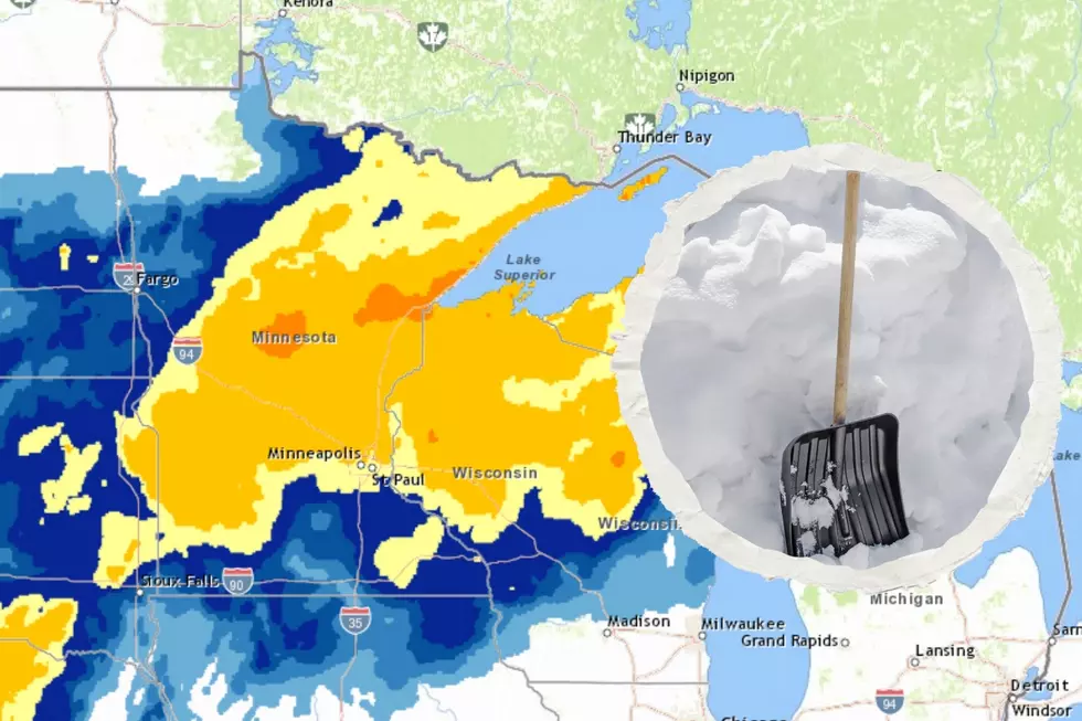
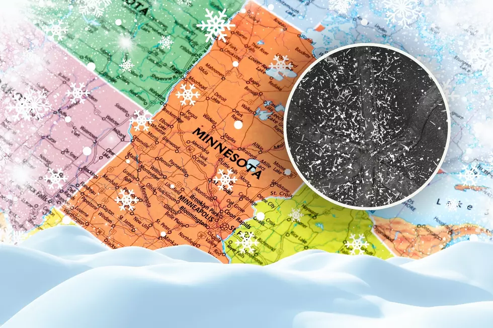
As a previously-released winter storm watch cautioned, a 'powerful' early spring storm is set to bring a variety of conditions to the Duluth/Superior area, South Shore, and Arrowhead region through the middle of this week. The National Weather Service has issued a winter storm warning, which remains in effect until 7 am Thursday.
Rain in the early morning hours will change to snow through the later parts of the morning in areas where it hasn't already changed to snow. Moderate to heavy snowfall is expected through much of the day on Wednesday, with the heaviest snowfall happening during the morning commute hours into mid afternoon.
With this storm, there is a potential of seeing snow accumulations of 8-14 inches with some locally higher amounts possible, especially in higher elevations along the Lake Superior shoreline. Accompanying the snow, ice accumulations of up to a tenth of an inch could occur, making for extremely slick road conditions with snow falling on top making the situation worse.
Visibility is expected to be poor through much of this storm as heavy snowfall and fog combine to cut visibility to less than a quarter of a mile at times. Windy conditions will also lead to a potential of blowing and drifting snow. The combined visibility, ice, and blowing and drifting factors could make driving difficult or potentially even dangerous through the worst part of this storm on Wednesday.
In the event of any school or organization delays or closings, we'll have them at the link below.
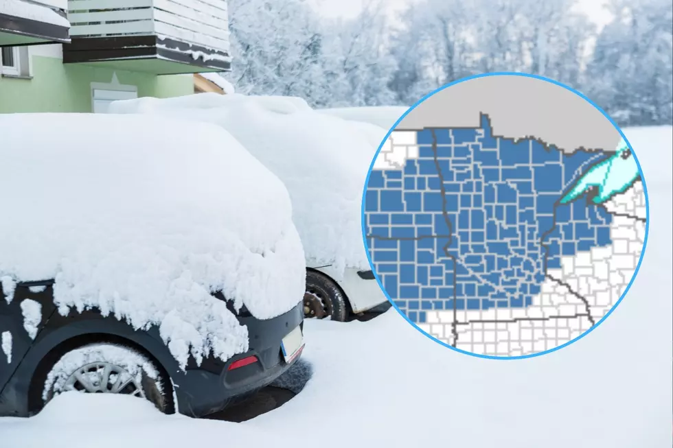
Warnings and Advisories as of 1700 on 03/15/16
More From MIX 108