NWS Duluth Says 12+ Inches Of Snow To Fall This Week In Minnesota + Wisconsin
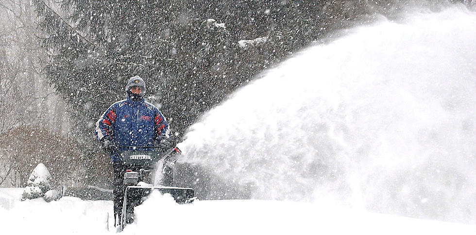
It's time to gas up the snowblower or get the shovel ready because the National Weather Service in Duluth says it's going to be a snowy week in the Northland.
Total accumulations from two winter storms will likely bring over a foot of snow to much of the area, with the first arriving Sunday night.

The first round begins Monday and the National Weather Service issued the following Winter Weather Advisory Sunday, February 19:
- WHAT: Snow expected. Total snow accumulations of 4 to 7
inches. - WHERE: North Itasca, Central St. Louis, Southern Lake, North Cass, South Itasca, Northern Aitkin, Carlton, and South St. Louis Counties. This includes the Tribal Lands of the Mille Lacs Band, Big Sandy Lake area, the Fond du Lac Band and the Bois Forte Band, Lake Vermilion, and, Deer Creek areas.
- WHEN: From midnight tonight to 9 PM CST Monday, February 20.
- IMPACTS: Travel could be very difficult. The hazardous conditions could impact the morning or evening commute.
- ADDITIONAL DETAILS: Localized areas could see up to 8 inches of snow with the best chance between Two Harbors and Silver Bay and along the North Shore terrain ridge.
You'll want to clear the snow from the first storm as soon as you can because it won't be long before round two arrives to potentially dump even more snow in the Northland. In fact, the National Weather Service has already issued a Winter Storm Watch for the Northland that will be in effect from 12:00 p.m. on Wednesday, February 22 until 6:00 p.m., Thursday, February 23.
The currently expect accumulations of 8" or more across a large portion of the area, with northwest Wisconsin likely seeing the biggest impact from a midweek storm.
While the exact timing and snowfall amounts from this second storm could change, prepare for dangerous winter driving conditions Thursday. If you have travel plans on that day, you may want to alter them if you can.
LOOK: The most extreme temperatures in the history of every state
KEEP READING: Get answers to 51 of the most frequently asked weather questions...
More From MIX 108