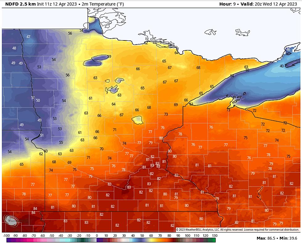
Rapid warming is triggering flooding over the South Shore of Lake Superior, and temperatures near 70F (inland) later today will accelerate runoff and flooding across much of the Northland. Cooler weather, and a little slush, is shaping up for the weekend.
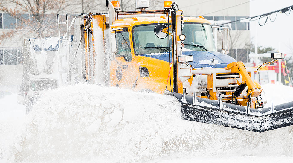
Only in the Northland can you be ankle-deep in slush with a mild breeze blowing in your face. This week's rapid thaw is increasing hopes for spring, and the potential for significant flooding in the coming weeks.
We have already had a few springlike moments in the Twin Ports but it looks like it could be here to stay and soon, according to the National Weather Service of Duluth.
It can be very tempting to go down to check out huge waves when they develop on Lake Superior. However, while this storm is raging, that could be a very dangerous idea.