Minnesota Got A Lot Of Rain This Week – Here’s Just How Much
It has been a wet and stormy week across Minnesota and Wisconsin. Those storms packed some significant rainfall, bringing already swollen waterways further beyond their banks in parts of the state.
Across Northern Minnesota, a flood watch was issued ahead of Thursday's storms. Late snowmelt from heavy winter snow and rain from earlier this spring have kept rivers and streams across the northern portions of the state at high levels for recent weeks.
Several rounds of rainfall over the last week added to those already high waterways in some pretty significant ways. We have some video and photos from the North Shore later in this post.
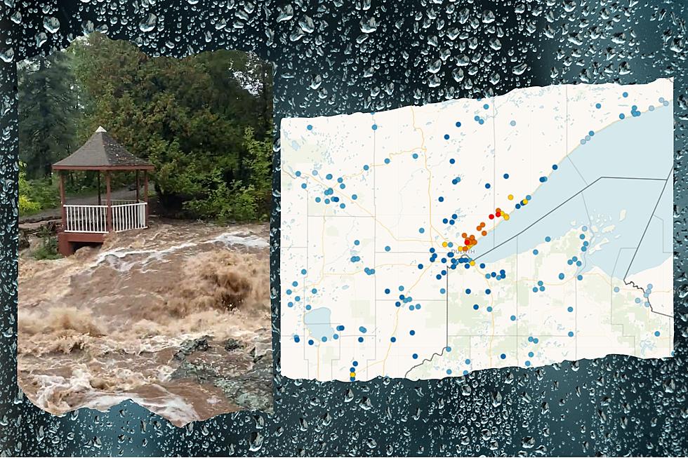
An estimate maps from the National Weather Service shows a swath of 5-7 inches of rain that fell from south of Willmar in a path to northeast of St. Cloud. The top spot was the small town of Prinsburg, which is southwest of Willmar. They reported a whopping 7.82 inches of rain in the last week!
Other spots at the top of the rainfall ranks around Minnesota in the last 7 days are as follows:
- 7.82 inches - Prinsburg, MN
- 7.42 inches - Princeton, MN
- 7.38 inches - Sartell, MN
- 7.04 inches - Cottonwood, MN
- 6.52 inches - Kandiyohi, MN
- 6.49 inches - Cold Spring, MN
- 6.16 inches - St. Cloud, MN
- 6.01 inches - Albany, MN
- 6.01 inches - Annandale, MN

Across the Northland, we didn't quite see 6+ inches of rain, but there was still pretty significant rainfall in places over the last 7 days. Here are some highlights:
- 3.41 inches - Bergen Lake (W of Fredenberg, MN)
- 3.32 inches - Kettle River, MN
- 3.27 inches - Canyon, MN
- 3.19 inches - Ely, MN (5.2 NNW)
- 3.15 inches - Silver Bay, MN
- 3.13 inches - Tofte, MN
- 3.01 inches - Cloquet, MN
- 2.93 inches - Island Lake, MN
- 2.93 inches - Holyoke, MN
- 2.93 inches - Sturgeon Lake, MN
- 2.82 inches - Two Harbors, MN (3.6 WNW)
- 2.80 inches - Wrenshall, MN
- 2.72 inches - Wright, MN
- 2.67 inches - Aurora, MN
- 2.58 inches - Duluth, MN (Duluth Heights)
- 2.56 inches - Carlton, MN
- 2.55 inches - Duluth, MN (Woodland)
- 2.53 inches - Superior, WI
Following this rain, a flood warning remains in effect for a portion of the Minnesota Arrowhead, spanning from International Falls to Grand Marais and down to Two Harbors until 1 pm Tuesday. The National Weather Service is warning that "Flooding of rivers, creeks, streams, and other low-lying and flood-prone locations is imminent or occurring. Rivers and streams continue to rise due to excess runoff from earlier rainfall."
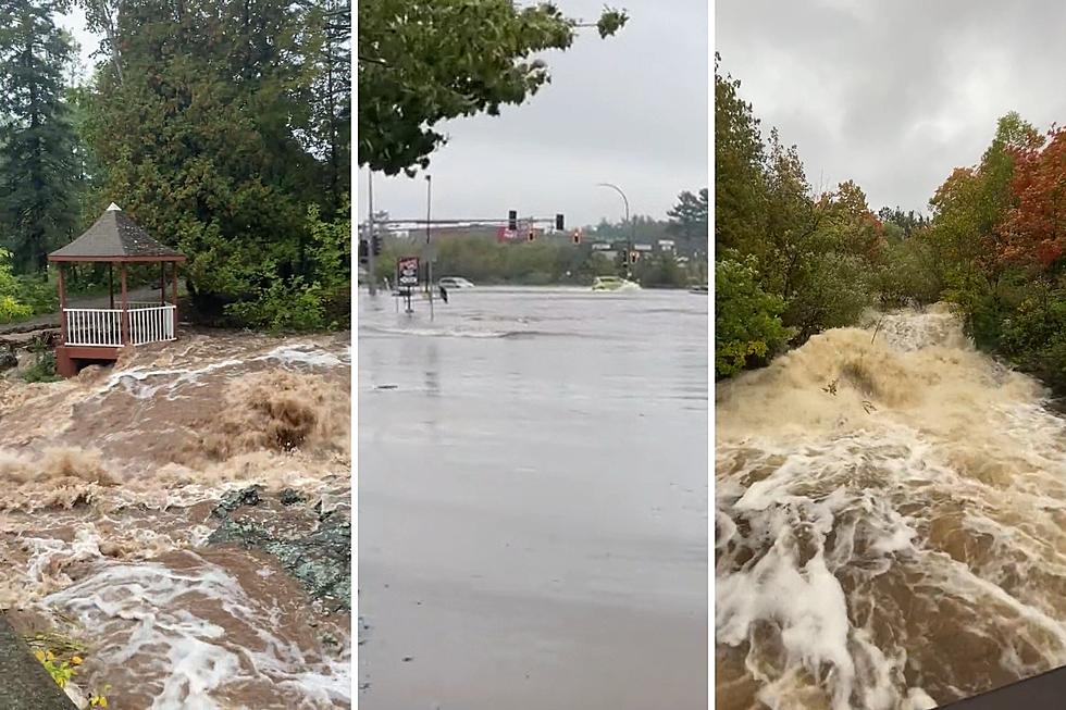
Flooding is already occurring in parts of the warned area. The National Weather Service says: "Rivers and streams draining from the high elevations of the North Shore of Lake Superior from Castle Danger to Grand Portage are running extremely high. Upland areas in Cook and Lake county are experiencing road washouts and closures."
Photographer Bryan Hansel has been capturing some of the high water along the North Shore, sharing some photos and videos of rivers and streams. Among them was an image from the Cascade River, where Highway 61 crosses it. The water is at the bridge, which is quite high.
Normally, the water is much lower. As seen in a photo from 2020 shared by another Twitter user, Tom Lukanen. , there is often several feet between the river and the roadway.
Additionally Hansel had shared some of his videos with the National Weather Service of the Cascade River over the last few days. The power of the water pouring under Highway 61 into Lake Superior is pretty impressive.
While generally drier conditions are favorable heading into the weekend, there are slight chances of showers and thunderstorms each day this weekend. No widespread washout events, but any additional rain at this point isn't going to help out the already saturated conditions across the region.
Comparing Summer 2021 Drought To Spring 2022 High Water Levels
More From MIX 108


