National Weather Service Saying ‘Several Inches’ Of Snow Possible For Duluth Area In The Next Few Days
If the most recent forecast holds up, you may want to get the shovels and snowblowers ready. This weekend is the first of what is expected to be two rounds of snow in the next several days that will impact parts of Minnesota and Wisconsin.
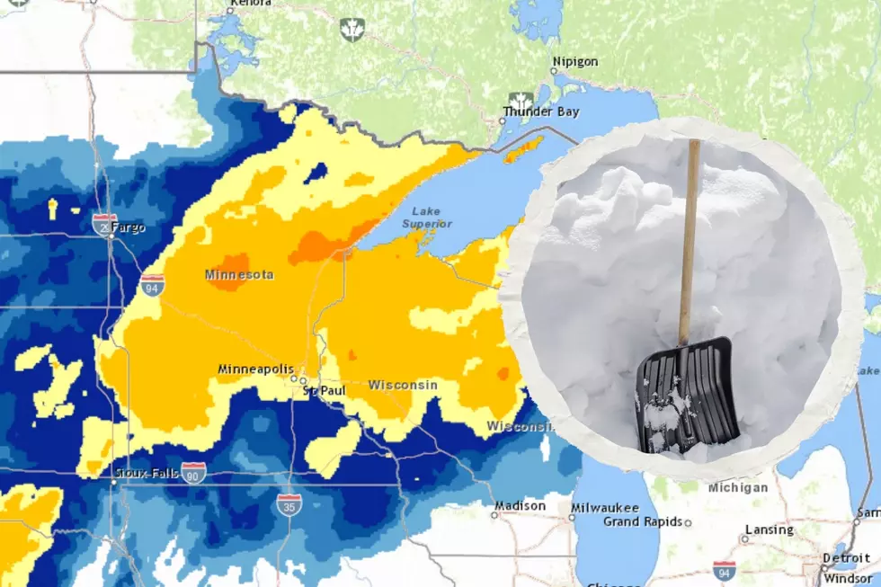
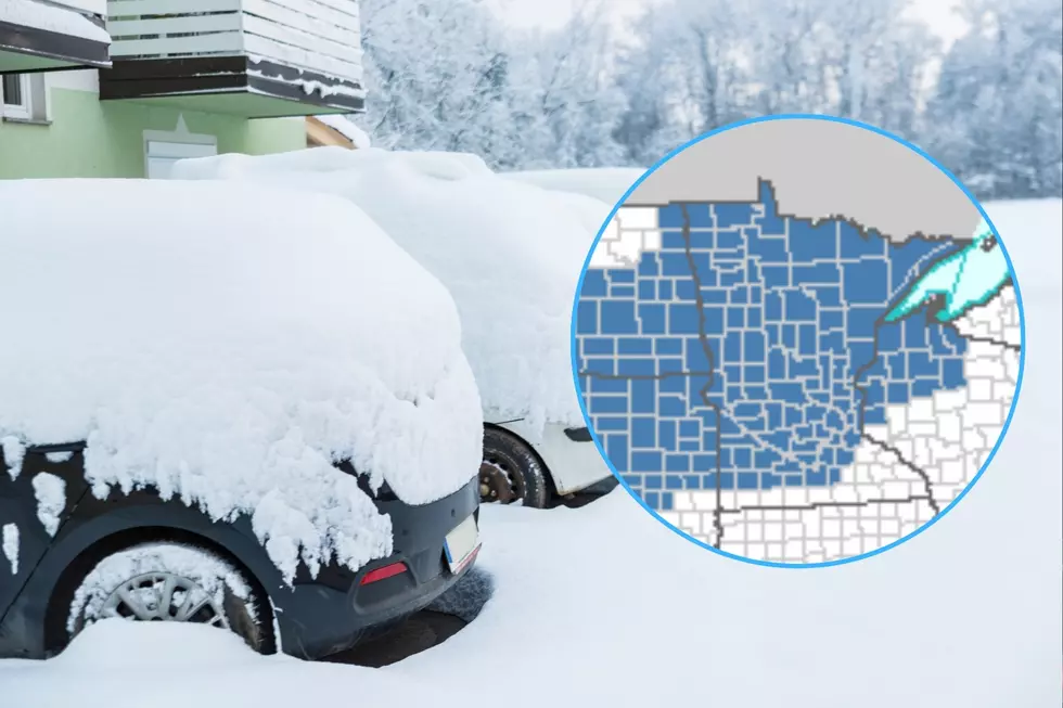
The first round of snow is expected to impact northern Minnesota Sunday, with the Twin Ports area currently in the bullseye. The National Weather Service shared a forecast map on their Facebook page, showing the best likelihood for snow this weekend in an area from the Brainerd Lakes to Duluth and along the North and South Shores of Lake Superior. Just like any winter storm, there are some unknowns. The first is a sure path of this storm. As of right now, it is looking like the greatest likelihood of snow (as seen below) does impact our area.
The second unknown is how much we can expect. The weather services is avoiding forecasting any snowfall totals at the time of publication, and rather is using words like "several inches" and "heavy snowfall" in their current forecasts. Other weather outlets are saying anything from 3-5 or 4-6 inches of snow. No, that isn't a foot of snow, but it is enough to make travel difficult at times, especially considering that most of this snow will happen in a handful of hours on Sunday. This heavy snowfall will reduce visibility, and is expected to be accompanied by breezy conditions, with a lake wind kicking up and making things extra messy (and adding the chance of some lake enhancement, adding to snowfall totals near Lake Superior).
The second round of snow I referred to will come through the day Monday and into Tuesday. As of right now, the heaviest of this snow is expected to stay south of the Twin Ports region, leaving us with the chance to get 1-4 additional inches of snow to start the week. This will give us the possibility of seeing anywhere between 4-10 inches of snow by midweek next week. Again, a shift in the path of either of these two snow events could change this forecast drastically, but that's how things look as of right now.
As the weather picture begins to get more clear, we will update you with the latest on what to expect.
The good news for those that want to see some moderation to the weather, the rest of next week looks pretty nice. After the snow moves out on Tuesday, we can expect to see plenty of sun and temperatures warming into the low to mid 30s in the later part of the week.
More From MIX 108


