Ongoing Roller Coaster Of Temperatures Brings Snow To Northern Minnesota Wednesday Morning
We crashed from 80 to near 40 over the weekend, and the transition from Tuesday to Wednesday saw a similar temperature swing. The roller coaster of temperatures continues (🎵woo hooo hooo hooo 🎵). The only difference is this time, it brought snow. Yes, snow!
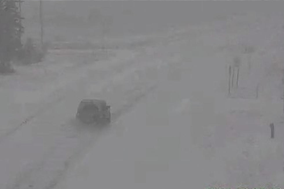
While it wasn't in the Twin Ports area, the National Weather Service did have a weather observer report snow for a brief period of time on Wednesday morning falling in far Northern Minnesota.
The report explains that the weather spotter in International Falls witnessed about 10 minutes of snow, leaving a trace of the white stuff on the ground less than 24 hours removed from when it was 82 in International Falls. The National Weather Service concluded by explaining that International Falls saw a low of 35 this morning, followed by an "Ope. Spring in Minnesota!"

Ope indeed, NWS. Ope, indeed.
So we've seen quite the spread of weather in the last several days, but what will the unofficial start of summer bring? Will it be the turning point in our roller coaster of weather?
Well, despite not being at the end of the cooler weather, there is a light at the end of the tunnel.
Breezy conditions in the upper 50's today will bring even cooler temperatures for Thursday, with a daytime high expected to only get into the mid-40's. We claw back into the mid-50's for Friday, and then things start to look upward.
While Memorial Day Weekend likely won't be a beach weekend, we see warming temperatures each day this holiday weekend, with 61 on Saturday, 66 on Sunday, and 71 on Monday. The good news is that those 70's look to hang around into next week, with each day next week currently forecasted to be in the low-to-mid 70's. As always, a lot can change in an extended forecast, but that's something to look forward to!
Ten Words Every True Minnesotan Knows
10 Pick-Up Lines You Can Use To Impress A Minnesotan
More From MIX 108


![Snow Bust? Parts Of Minnesota Still Saw Nearly A Foot Of New Snow Over The Weekend [SNOW TOTALS]](http://townsquare.media/site/164/files/2025/03/attachment-MNSnowFeature032425.jpg?w=980&q=75)