Duluth National Weather Service Office To Use New Winter Storm Index In Storm Predictions This Year
The 2020-2021 winter season paid an early visit, reminding the Northland that the season of snow and cold is on the way. In preparation of the winter season and any winter storms it may bring, the Duluth National Weather Service office shared they will be detailing what to expect from forecasted winter storms in a new way with a new tool.
The new method, called the Winter Storm Severity Index (WSSI) is designed to make storm impacts more clear for the public when winter storms are on the horizon. NOAA's website describing the WSSI explains that the index is a "spatial assessment of the societal impacts of winter storms." What does that mean for you? It will break down in a less jargon-y fashion the severity of impacts of winter storm events to make more clear to the public which storms could have the most severe or extreme impacts.
While the WSSI will be a new tool added to the roster of available tools from the National Weather Service to assess upcoming winter weather events, they will still continue to offer normal forecasts and winter weather watches, advisories, and warnings.
NOAA explains that WSSI will "allow forecasters, emergency management, and the general public to make informed and tactical decisions about the potential for significant weather related impacts." They go on to say "Using the winter storm severity index, experts are able to effectively assist in preparing the public for upcoming winter hazards."
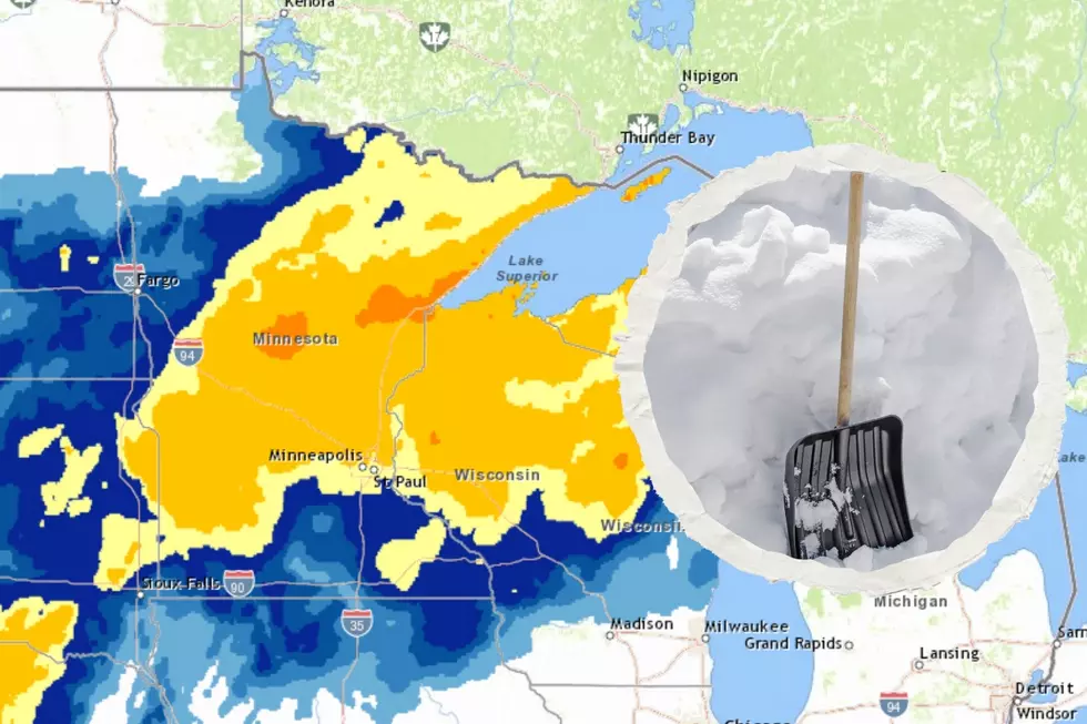
The image above (see it full size) is an example of what a WSSI map looks like. Don't worry, it isn't a current forecast as of the time of publishing this post. We aren't anticipating "moderate impacts" events in the near future as of the time of publishing.

The WSSI uses a six-point scale, which takes into account snow amounts, ice accumulations, blowing snow, flash-freezing potential, and other factors to indicate the level of impacts on the following scale:
- No impacts: No impacts expected
- Limited impacts: Rarely a direct threat to live and property. Typically results in little inconveniences.
- Minor impacts: Rarely a direct threat to life and property. Typically results in an inconvenience to daily life.
- Moderate impacts: Often threating to life and property, some damage unavoidable. Typically results in disruptions to daily life.
- Major impacts: Extensive property damage likely, life saving actions needed. Will likely result in major disruptions to daily life.
- Extreme impacts: Extensive and widespread severe property damage, live saving actions will be needed. Results in extreme disruptions to daily life.
Northlanders that have seen at least one winter around here can all think of weather events that could fit into at least a few of these categories. This scale, in conjunction with other means of communication, should help people decipher one winter storm from another in terms of how much it could impact daily life.
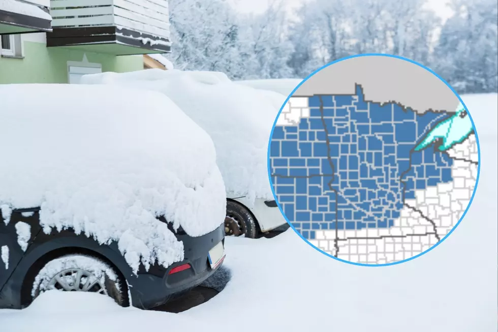
NOAA will generate a rolling three-day forecast map updated every two hours that shows what areas will see impacts from a winter storm event, and where on the spectrum each area falls. Beside the national map I linked to at the top of this paragraph, you can also monitor just the Northland with this map. You can also filter from overall impact to specific categorical impacts like snow amount, ice accumulation, or ground blizzard potential.
You can learn more about the entire index on this NWS informational document. There's a secondary informational document here.
10 Major Winter Weather Events In Northland History
More From MIX 108


