UPDATED: End Of Week Snow Totals Less Than Initially Expected
UPDATE 01/14/21 06:00 am
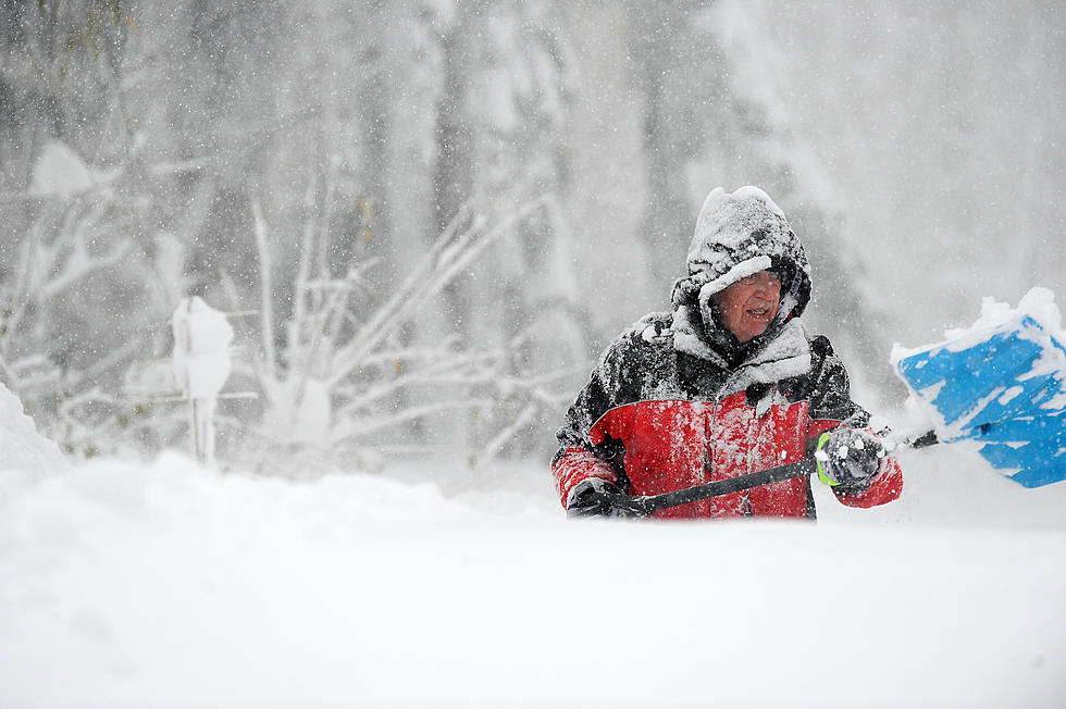
While the forecast on Wednesday afternoon was pointing toward several inches of snow as part of a multi-day snow event spanning from early Thursday until early Saturday morning. As the weather-maker has drawn closer, it became apparent that snow would begin later than expected and be less intense than anticipated for much of the area.
Timing for the arrival of the system according to the updated forecast shows freezing drizzle and/or mixed precipitation starting during the day on Thursday, likely reaching the Twin Ports area by late morning or early afternoon. This will eventually change to all snow, with the heaviest snow potential Thursday night into Friday morning. Snow chances continue through Friday evening or early Saturday morning.
While there was a potential to see up to 9 inches in parts of the region, those numbers have come down pretty considerably. The immediate Twin Ports area could see 2-4 inches of total snowfall, while areas to the south of the Twin Ports could see 4-6 inches. A few isolated areas on the South Shore and down toward the Twin Cities could see slightly more than that 4-6 inches.
This update in the forecast has shifted the Duluth National Weather Service office to shift what was a winter storm watch to a less severe winter weather advisory, warning of freezing rain, mixed precipitation, and snow that could impact travel, but isn't severe enough to be considered worthy of a winter storm warning.

Original Post 01/13/21 04:53 pm
THE INFORMATION BELOW IS OLD INFORMATION
The National Weather Service has updated their expected snowfall totals and timelines ahead of the winter weather event coming at the end of the week. The Duluth NWS office says this 'expansive weather system' will bring with it a swath of several inches of snow over the course of the last few days of the workweek and into the weekend.
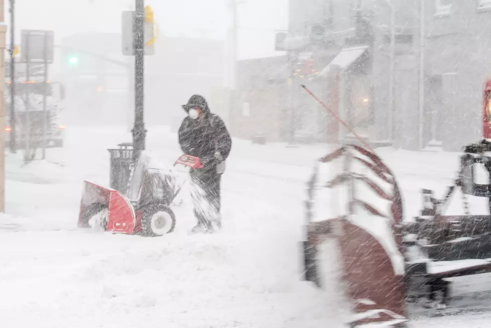
The system will push into the region overnight Wednesday night into the early hours of Thursday, starting as freezing rain and/or mixed precipitation before changing completely to snow, which will be heavy at times.
Due to the various weather impacts, the immediate Twin Ports area is under a winter storm watch, cautioning of these potential hazards in the areas shaded in blue below. (As of 4:30 pm 1/13/21)

The timing sees freezing rain and/or mixed precipitation reaching the Twin Ports area between midnight and 6 am Thursday morning eventually changing to all snow, with the heaviest snowfall expected between noon and midnight. Snow will persist into the early morning hours of Saturday morning, leaving a swath of possibly 5+ inches of snow across much of the region.
The most recent snowfall potentials for some areas across the region, according to a bulletin from the Duluth NWS office, shows some sizable totals from this storm. Here are some of the possible (high-end) snowfall totals they project we could see by Saturday morning:
- Hayward: 9.6 inches
- Duluth Downtown: 9.1 inches
- Ashland: 9.1 inches
- Duluth Airport (on top of the hill): 9.0 inches
- Cloquet: 8.9 inches
- Superior: 7.9 inches
- Moose Lake: 7.8 inches
- Two Harbors: 6.9 inches
- Hibbing: 5.2 inches
The graphical map of forecasted snowfall totals shows the heaviest swath spanning from the Twin Cities area along the Minnesota-Wisconsin border and along much of the Wisconsin South Shore.

We will continue to update this post with the latest information on this winter storm as the system draws closer to the region.
10 Major Winter Weather Events In Northland History
More From MIX 108