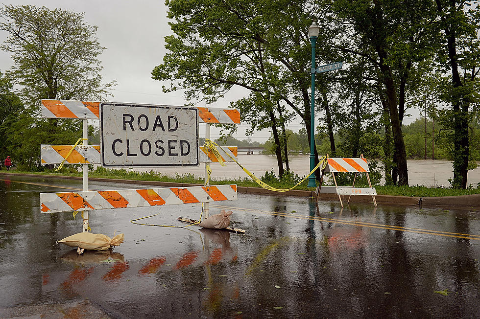
Wisconsin Flood Warning Extended As 19 Roads Are Closed In One County
As predicted, the warm temperatures this week have led to flooding issues across the Northland. On Tuesday, the National Weather Service issued a Flood Warning for northwest Wisconsin as a large portion of State Highway 13 had been closed and there was water on several other roads.
Conditions worsened in the Bayfield area by Tuesday night leading to additional road closures and an extension of the Flood Warning that was originally set to expire Thursday.
The National Weather Service issued the following extended Flood Warning:
- WHAT: Flooding caused by snowmelt is occurring.
- WHERE: A portion of northwest Wisconsin, including the following area, Bayfield.
- WHEN: Until 400 PM CDT Friday.
- IMPACTS: Flooding of rivers, creeks, streams, and other low-lying and flood-prone locations is imminent or occurring.
- ADDITIONAL DETAILS: At 805 PM CDT, local law enforcement reported flooding in the warned area. Flooding is already occurring. There are several road closures in the warned area, including US Highway 63 north of Grand View.
- LOCATIONS THAT WILL EXPERIENCE FLOODING: Ashland, Iron River, Drummond, Benoit, Ino, Town of Delta, Mason, Grand View and Moquah.

They stated there were several roads closed in the warned area. As of Wednesday night, there was a whopping 19 roads that had been closed.
Late Wednesday night, the Bayfield County Emergency Management Facebook page provided a list of all the roads closed due to flooding in Bayfield County:
- US Highway 63 – Lincoln by the Bibon Swamp
- County Highway F - East of Benoit
- State Highway 13 – Port Wing to the Douglas County line (it extends to Lakeside in Douglas)
- Old 63 Road – Lincoln
- Klemik Rd – Bell
- Stage Rd – Bell
- Old 13 Rd – Bell
- Muskeg Rd- Oulu
- Pudas Rd – Oulu
- Ashland-Bayfield Line Rd – Wildcat Rd to County E Lincoln
- Faith Church Rd west of Hanson Rd – Mason
- Wicklund Rd – Mason
- Bibbon Rd – Mason
- Freidas Corner – By Sandor Rd Mason into Keystone
- Bigelow Street between STH 13 and 11th Avenue – City of Washburn
- Rowley Rd – Closed at the bridge Red Cliff
- Emil Rd – Red Cliff
- Petras Rd – Keystone
- Motel Rd - Keystone
The National Weather Service reminds motorists to turn around, and don`t drown when encountering flooded roads. They add that most flood deaths occur in vehicles. Be especially cautious at night when it is harder to recognize the dangers of flooding.
Motorists are asked to report observed flooding to local emergency services or law enforcement, and to the National Weather Service when they can do so safely.
LOOK: The most extreme temperatures in the history of every state
Gallery Credit: Anuradha Varanasi
LOOK: 25 must-visit hidden gems from across the US
Gallery Credit: Abby Monteil
More From MIX 108


