National Weather Service in Duluth Issues Spring Flooding Outlook For Northland
Despite the cold weather this week, spring in the Northland is still solidly on the calendar on Sunday March 20.
We have Daylight Saving this weekend (remember to set your clock ahead an hour before you go to bed Saturday night!) and then we will be just a week away from the official change of season, which I think we all welcome.
Along with fun things like daylight last longer into the evening, warmer temperatures and fun things returning, such as Gordy's High Hat and area Dairy Queens reopening, there can be a down side to spring in the Northland.
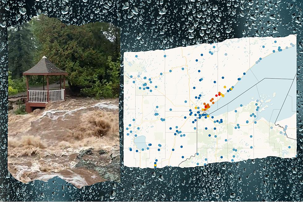
The National Weather Service in Duluth issued their final Spring Flood Outlook for the area and based on their 'Observed Winter Precipitation' and 'Snowpack/Liquid Equivalent' analysis, it appears that parts of the Northland should be prepared for potential flooding.

They found the spring flooding potential is higher than normal in both northern Minnesota and northwest Wisconsin. There is also a higher than normal chance of flooding on the Mississippi River at Aikin and Fort Ripley.
The spring flooding potential is normal for most of Northern Wisconsin, however that doesn't hold true once you get closer to the Superior area and other parts of northwest Wisconsin.
They shared this information Thursday on the US National Weather Service Duluth Minnesota Facebook page, along with a handy graphic.

This final outlook added that above normal precipitation in Minnesota and Northwest Wisconsin was a key factor in the increased flood chance in those areas.

What this ultimately means isn't 100% clear as things like 'Rate of Snowmelt', 'Frost Depth' and 'Spring Precipitation' have yet to be determined.
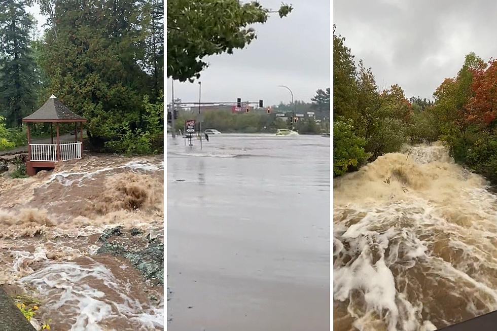
For now, we can all enjoy the fact that spring is coming, but we should also be prepared for it to turn a bit messy for parts of the Northland.
KEEP READING: Get answers to 51 of the most frequently asked weather questions...
LOOK: The most expensive weather and climate disasters in recent decades
Gallery Credit: KATELYN LEBOFF
More From MIX 108