UPDATE: Blizzard Warning! NWS Duluth Includes Twin Ports In ‘Major To Extreme Storm Impact Area’
UPDATE 12/13/22 3:09 PM:
Tuesday in the Northland started with everyone experiencing the calm before the storm, but make no mistake, a major winter storm is still tracking to impact the Twin Ports area. In fact, a Blizzard Warning has been issued with some areas predicted to get up to 30 inches of snow.
The question, as is the case with every storm, is just how much will this storm will actually impact the Duluth area as there have been times in the past when storm predictions do not match what we actually experience.
As of Tuesday afternoon, the National Weather Service in Duluth is warning the area that Duluth and surrounding areas should prepare to face 'major to extreme' impact from this nasty storm.
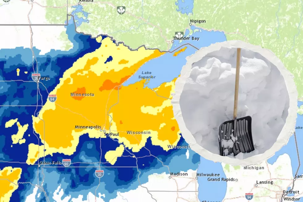
They issued the warning on their Facebook page, along with a graphic showing that while most of the Northland would be in the 'moderate' impact area, the Duluth area wasn't trending as lucky. Duluth is currently in the major impact area.
The Winter Storm Severity Index (WSSI) creates a graphical depiction of anticipated impacts to society due to winter weather. Right now, a large swath of the area will see moderate impacts, with Major and Extreme impacts possible from the Twin Ports and northeast.

Major impact is defined as "travel conditions could be dangerous or impossible. Avoid travel if possible."
Extreme impact means travel will be dangerous or impossible and travel is not advised. Furthermore, extensive closures and disruptions to infrastructure may occur, such as power outages, road closures, etc. As of Tuesday afternoon, only areas northeast of Duluth were in the extreme impact area.
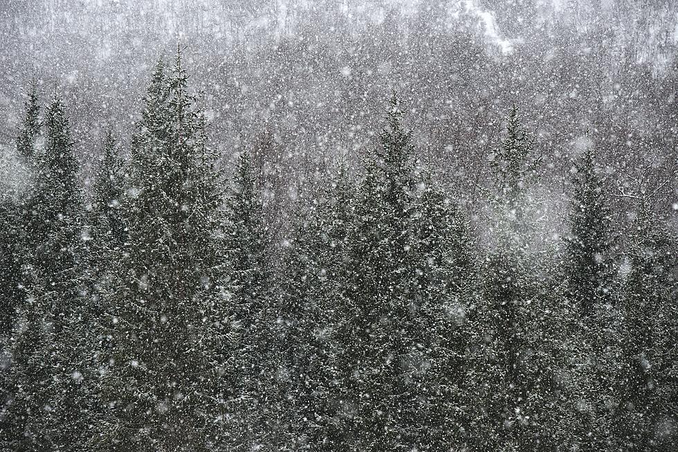
As for the timing of the storm, the National Weather Service expects it to start as a wintry mix Tuesday night, with heavy snow beginning after midnight.
Snow and a wintry mix push in tonight, with heavy snow expected overnight into Wednesday morning. Many places outside of the North Shore are expected to see a lull in snow tomorrow afternoon and evening but don’t be fooled! Snow is not over, with a second push of snow expected again overnight into Thursday morning, and light snowfall beyond that.
As they've warned along, this will be a long-duration storm with a second push of snow expected after initial accumulations.
To make sure everyone is prepared and taking this storm seriously, the National Weather Service has issued a Blizzard Warning for the Duluth area from 6:00 p.m. Tuesday all the way until 6:00 p.m. Thursday:
WHAT: Blizzard conditions expected. Total snow accumulations of
18 to 30 inches and ice accumulations of a light glaze. Winds
gusting as high as 45 mph.
WHERE: Southern Lake and Southern Cook Counties. This
includes the Tribal Lands of the Grand Portage Reservation.
IMPACTS: Travel could be very difficult to impossible. Patchy
blowing snow could significantly reduce visibility. The
hazardous conditions could impact the morning or evening
commute.
ADDITIONAL DETAILS: Heavy snowfall combined with strong winds
will cause snow loading on trees and powerlines. This will
likely cause power outages.
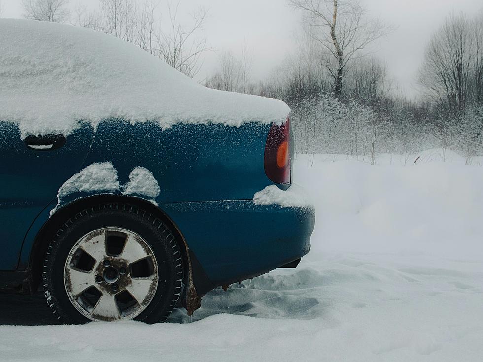
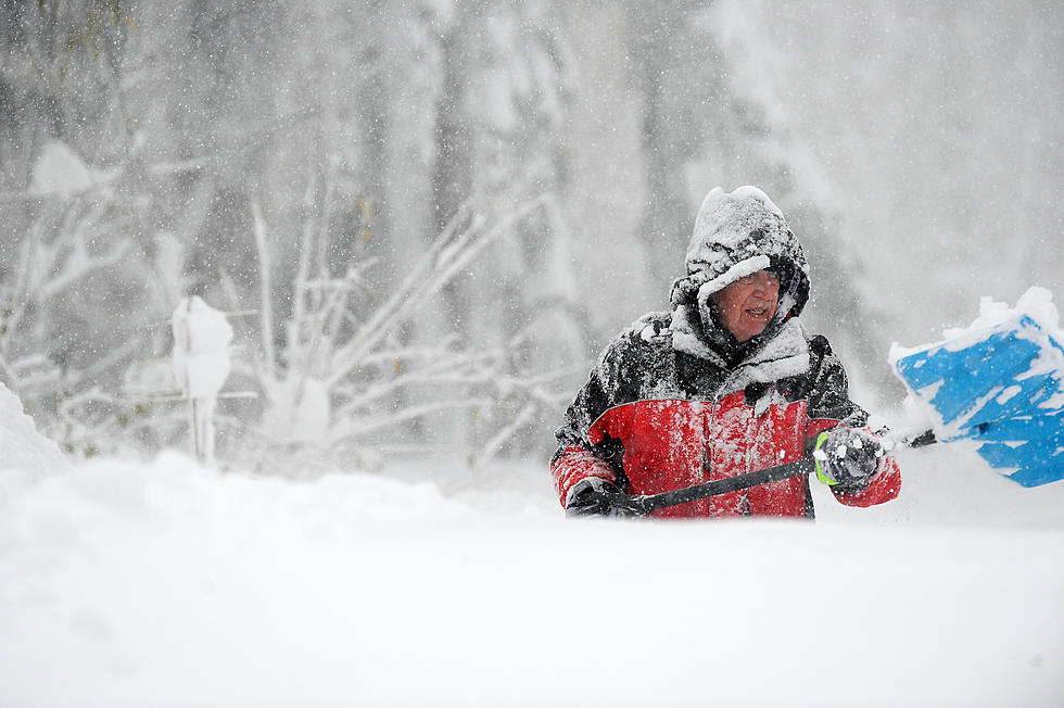
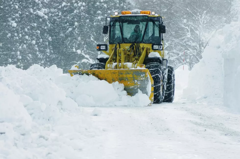
This will be wet-heavy snow, made even more dangerous by mixing with ice initially, not to mention the winds gusting high as 45 mph. Please prepare and error on the side of caution when it comes to travel.
ORIGINAL POST: 12/8/22 10:58 AM:
We live in the Northland, so having snow in a December forecast is far from from shocking. In fact, it's more surprising the years when we've had lack of snow. That being said, when the forecast shows the potential for a significant snow event, it does peak interest.
That is exactly what weather experts, including the National Weather Service in Duluth, are keeping an eye on right now.
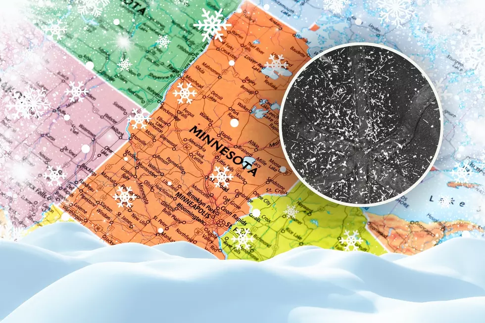
The US National Weather Service Duluth Facebook page first mentioned an approaching snow storm earlier this week. It was tracking to arrive early Tuesday, December 13 and remain in the area for a couple of days. At the time, they believed there were two possible scenarios for how it would impact the Twin Ports area.
A winter storm is still expected track somewhere across the country during the early to middle parts of next week. A more northern track would bring significant winter impacts to the northern plains. A southern track would limit the impacts across our area. Predictability is still not yet high enough to know where the storm will go. Keep an eye on the forecasts through the weekend to see how this system plays out and if impacts are expected.
On Thursday morning, the National Weather Service updated their storm prediction, stating that two systems where approaching. One relatively minor one this weekend and then the big one next week.
Two systems will bring winter weather to the Northland. The first is relatively minor, but may have some freezing drizzle. The second larger system which arrives Tuesday may bring significant snowfall with some locations receiving a foot+.
They also provided a graphic predicting the timing of both systems as well as the areas of impact across the Northland. As of Thursday morning, it still appeared the snow from the larger system would arrive into the Duluth area early Thursday morning, then remain with us through Thursday morning.
Chief Meteorologist Justin Liles with our media partners at WDIO-TV is also keeping his eye on the strong system approaching next week. On his Wednesday evening broadcast, he acknowledged that it's still a ways away, but the models continue to show significant snow approaching within that same timeline. The big question for now is exactly which path this storm will take.
Needless to say, all eyes will remain on this system and updates will be in no short supply, nor will any storm advisories, watches or warnings should they become necessary.
At least it gives everyone time get gas for their snow blowers or make sure there are enough shovels on hand. It also gives winter outdoor enthusiasts a reason to start drooling in anticipation.
Ways Winter 2020-2021 Was So Bizarre For The Northland
LOOK: The most expensive weather and climate disasters in recent decades
More From MIX 108