Tired Of The Lack Of Snow This Month? Christmas Week Could Bring Measurable Snow
If you've been bored by the generally snow-less weather we've been having, hold tight. While our chances of seeing significant snow to give us a white Christmas are quite slim (aside from a little bit this weekend), there's still a chance we could see a Christmas Week snow event that could make travel messy right after the holiday.
Obligatory cautionary message: This forecast is looking at weather model information 7+ days away, and a lot can change between now and then.
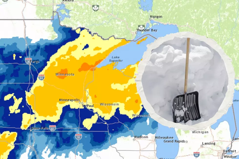
Longer-range weather models are starting to point to a "Colorado Low" that could sweep through and bring some snow during a window somewhere between late Wednesday evening (December 26) and Friday morning (December 28). The most likely scenario seems to suggest Thursday, the 27th being the day when most of the action could happen.
The current path suggest the heaviest possible snow developing in southeastern Minnesota, and pushing northeast through central Wisconsin and toward the Michigan UP. As for the Twin Ports area, there is still a likelihood of seeing shovel-able snow, but not more than maybe 3-6 inches or so. While these aren't major snowstorm totals (at least for our area), they could make travel toward the end of next week troublesome around much of Minnesota and Wisconsin. It will also give snow lovers a fresh coat to go play in after Christmas.
We'll monitor this system and update this post with the latest as the forecast gets clearer.
More From MIX 108


