WATCH: Time-lapse of Tuesday Evening Thunderstorms That Swept Through The Region
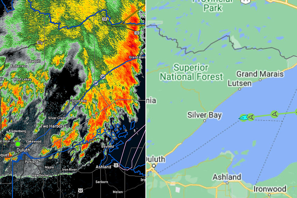
Tuesday evening saw a line of severe storms sweep through the Twin Ports, Iron Range, and Minnesota Arrowhead, with gusty winds and a brief downpour leaving downed trees, power outages, and some localized flash flooding in its wake.
As many as 3,000 people were left without power in the Arrowhead region from the Twin Ports toward the Canadian Border as the leading line of a two-part storm event pushed through the region Tuesday. Reports of localized flooding, including in the I-35 tunnels in Duluth, were reported. Reports of downed trees, including some large trees, came in from on the Iron Rage. There were also hail reports spanning from the Twin Cities all the way north to Grand Rapids from this storm event.
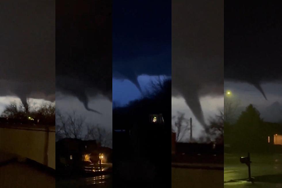
Among the photos from the storm being shared on social media, multiple perspectives of the shelf cloud on the leading edge of the storm were captured. These dramatic-looking (and photogenic) clouds are typically seen on the leading edge of a thunderstorm. These formations often signal a severe storm is on the way and are often associated with wind gusts within the storm. Shelf clouds are often confused with tornadic wall clouds by untrained individuals, but they are very different. While shelf clouds (like the one in tonight's storm) are seen at the front edge of an approaching storm, wall clouds are a lowering cloud within a thunderstorm that can spawn a tornado.
Watch the time-lapse of this shelf cloud (and the rest of Tuesday evening's storm) pass over the Twin Ports in the video at the top of the page.
More From MIX 108
