What If? How Much Snow Would We Have Gotten If This December Rain Fell As Snow?
The odds of a white Christmas are dwindling as the forecast continues to call for generally warmer-than-normal temperatures across the region.
While this weekend's messy storm system is bringing some small amounts of sloppy snow to parts of the region, warmer weather in the week ahead doesn't bode well for preserving that limited snow amount or allowing for much to be added to the totals we've seen.
As far as the National Weather Service is concerned, they define a "white Christmas" as having at least an inch of snow on the ground on Christmas Day. While it wouldn't take much to achieve that, the odds aren't looking great in many places of the Northland, including Duluth and Superior.
But, what if?
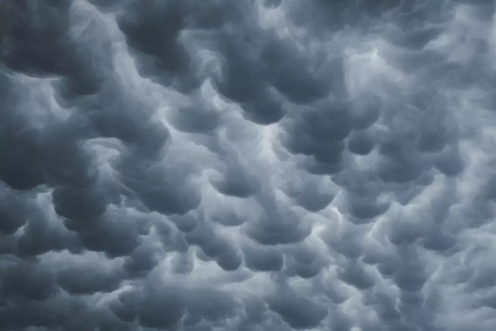
Almost exactly a year ago, we got hit by a snowstorm. A year later, another December weather event mixed with warmer temperatures brought rain to the Northland, making it feel more like that scene in Home Alone, where the family is in Miami and it's raining. Not very Christmas-like; especially in a part of the world where precip in December is usually snow.
READ MORE: Are we in for one of the least-snowy winters ever?
During this weekend's weather event, some areas got a pretty decent amount of rain. Many places got nearly an inch of rain, with some places reporting more than an inch. Not flood-worthy rain, but a notable amount of precip.
If temperatures had been a little bit cooler, how much snow would we have gotten?
While the conversion rate of rain to snow varies depending on factors like how cold it is, there is a standard conversion rate generally used to convert liquid precipitation to snow.

Here's a rundown of some rain reports from around the region as of Saturday afternoon, and roughly how much snow we would have gotten if it had been cold enough to see snow instead of rain:
- Mason, WI: 11.5 inches of snow
- Two Harbors, MN; 10.8 inches of snow
- Bayfield, WI: 10.3 inches of snow
- Superior, WI: 10.2 inches of snow
- Solon Springs, WI: 10.2 inches of snow
- Aitkin, MN: 9.9 inches of snow
- Woodland - Duluth, MN: 9.6 inches of snow
- Sandstone, MN: 9.6 inches of snow
- Silver Bay, MN: 9.4 inches of snow
- Chester Park - Duluth, MN: 9.1 inches of snow
- Cloquet, MN: 8.8 inches of snow
- Brainerd, MN: 8.8 inches of snow
- Moose Lake, MN: 8.3 inches of snow
- Grand Rapids, MN: 6.3 inches of snow
- Hibbing, MN: 4.2 inches of snow
- Hayward, WI: 3.3 inches of snow
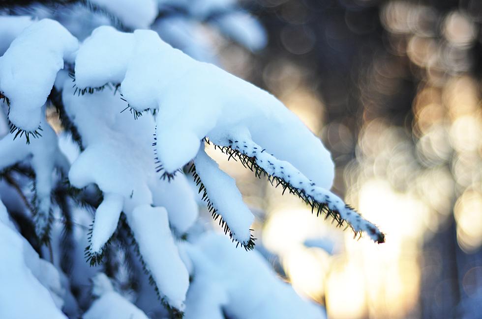
That would have made for a much more seasonal look to things a week before Christmas.
The 15 Least Snowy Winters On Record In Duluth History
Gallery Credit: Nick Cooper - TSM Duluth
More From MIX 108