Strong Storms Expected Friday Afternoon + Evening
The National Weather Service office in Duluth is warning for the potential for some strong storms to wrap up the workweek.
UPDATE 06:30 AM 08/14/20
Timing for Friday's storms look to see the Twin Ports area being impacted between 7 pm and 9 pm. Key threats include damaging winds, large hail, and heavy rainfall with a chance of an isolated tornado.
Original Story - 11:54 am 08/13/20
The main threat from the storms that are expected Thursday night is heavy winds with gusts up to 70 MPH, there could also be some large hail and heavy rain that could cause some localized flooding.
The storms will move through north-central Minnesota this evening with the Grand Rapids area seeing the storms around 11 PM and the Twin Ports area getting them around 2 AM.
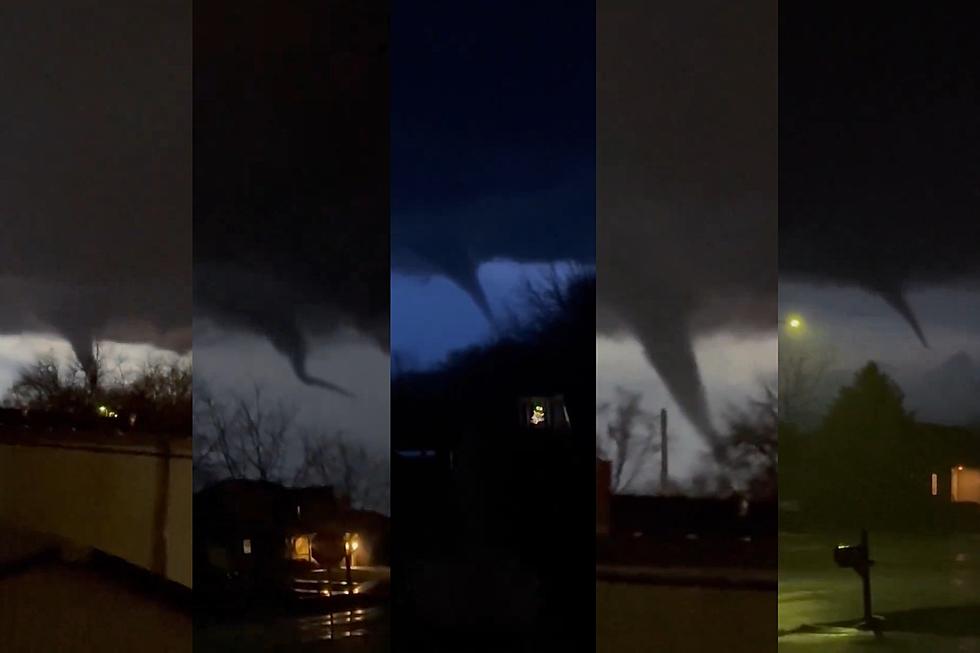
And just as quick as the first line of storms moves out another line will start to move through the area between 4 PM Friday and 1 AM Saturday, The National Weather Service says the timing of these storms could change, but the main threat will continue to be high winds and hail, there is also the potential for some tornadoes.

Keep an on the incoming storms on the National Weather Service Duluth office's Facebook page, they do a great job of getting information out and answering questions.
Things People Hate About Summer
More From MIX 108