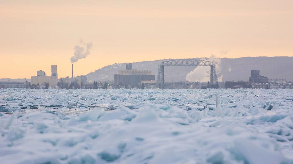
Ice Forming on Lake Superior Weeks Ahead of Schedule
Waking up to temperatures near zero degrees this morning made it feel a lot more like January than mid-November. Beside making us all dream of warmer weather, those unseasonably cold temperatures are leading to abnormally early ice on the greatest of the Great Lakes as well.
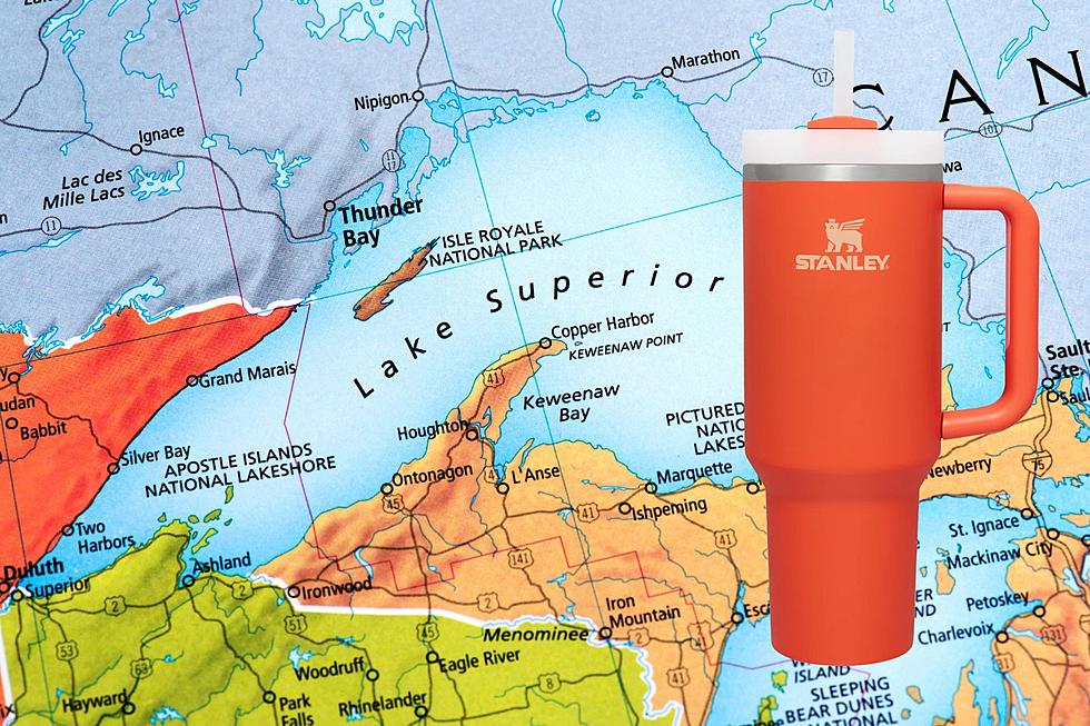
According to NOAA's tracking of annual ice formation on the Great Lakes, we usually see ice on Lake Superior by early to mid December in the Twin Ports (see map below), Ashland-Bayfield area, and some of the northern bays on the Canadian shoreline, before it extends to cover a larger area later in the winter. After an excessively cold winter with ice on Lake Superior into June, formation of new ice has started several weeks earlier than normal. The photos below were captured by Extreme Photography near Ashland, WI over the weekend. You can see all of the photos by clicking on one of the photos below.
The short-term forecast is calling for more cold temperatures, which will only add to the early ice on Lake Superior and many other area lakes. With the cold temperatures and formation of ice, anglers are getting the itch to hit the ice as soon as they can. Many smaller inland lakes are mostly to fully ice-covered, but thickness of the ice is likely not safe yet and will need more time to set up.
Once ice does get to a thickness safe enough to get out, officials remind those excited to get out and do some early season ice fishing that no ice is ever "safe ice", and it is important to check ice thickness regularly, as conditions can change from day to day.
Here is a map of average first ice dates from NOAA.
More From MIX 108
