Weather Service Confirm Ultra-Rare “Finger of God” Tornado In Midwest
These days, when a tornado hits, the whole world sees it in real time. Drones, doorbell cameras, and livestreams capture every terrifying second. But even through the lens, this one stood out, a Midwest storm so intense it’s now making weather history.
A Midwest Tornado So Powerful It Made History
The United States hasn't seen a tornado this powerful in more than 10 years. Since 1950, there have been only 10 other confirmed “finger of God” tornadoes, storms so violent they can lift and throw train cars like toys.
READ MORE: AccuWeather Releases Winter Forecast For Minnesota
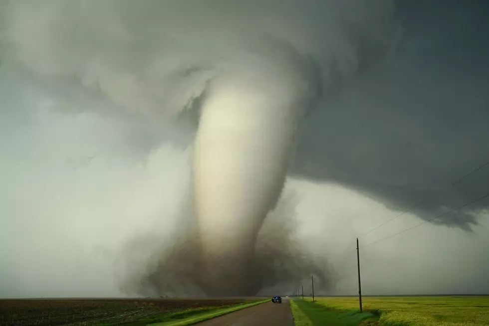
The National Weather Service in Grand Forks just upgraded a tornado that struck on June 20, 2025, to the highest level on the Fujita Scale, EF-5. The storm touched down just after 11 PM and lasted about 20 minutes near Enderlin, roughly an hour southwest of Fargo. Winds reached speeds of more than 210 miles per hour.

Unimaginable Force Leaves Trail of Destruction
Sadly, the storm claimed three lives and caused a major train derailment just south of town. Wind speeds were so extreme that they tipped several fully loaded grain hopper cars, lifted tanker cars, and hurled one empty tanker nearly 500 feet.
Investigators also found extensive farm damage, with hundreds of trees stripped bare. One farmstead was described as having “complete destruction,” with its foundation swept clean and debris scattered far downwind, a signature of an EF-5’s raw, unforgiving power.
Snowiest Cities & Towns In Minnesota
Gallery Credit: Nick Cooper
Minnesota Counties Without Any McDonald's Locations
Gallery Credit: Nick Cooper - TSM Duluth
More From MIX 108