Waterspout Spotted On Lake Superior’s North Shore Tuesday Evening
A rare Lake Superior weather phenomenon was spotted just off the Minnesota North Shore of Lake Superior on Tuesday night.
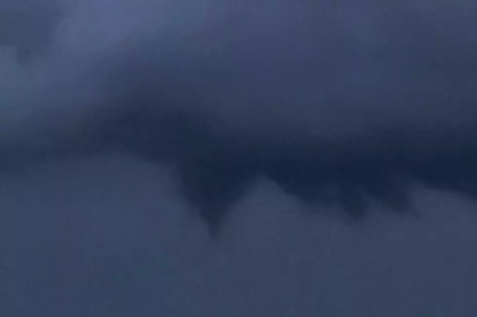
A Minnesota-based storm chaser shared a photo on Twitter Tuesday night, depicting a waterspout sighting over Lake Superior, not far from Schroeder, Minnesota, between Silver Bay and Grand Marais along the North Shore.
You might be saying - “Wait, there weren’t any thunderstorms Tuesday night!” You would be correct. So, how could there have been a waterspout? They’re just water tornadoes, right?
There are actually two kinds of waterspouts. As the folks at NOAA explain, the first kind is what you would normally expect from something looking like a tornado - a tornadic waterspout. Tornadic waterspouts occur either when a thunderstorm-instigated tornado starts over water, or moves from land to water. Tuesday night’s occurrence was the other kind of waterspout.
That other kind of waterspout is called a fair weather waterspout. These waterspouts, as the name would suggest, happen during non-stormy weather. NOAA explains that fair weather waterspouts “usually form along the dark flat base of a line of developing cumulus clouds.”
They go on to explain that while tornadic waterspouts develop downward from the cloud to the water surface, fair weather waterspouts generally develop on or near the water surface, and work upward toward the clouds. Fair weather waterspouts usually form in light wind conditions, and because of that, they usually don’t move much.
If a waterspout does move ashore, however, it is technically considered a tornado. Due to the physics and science behind how fair weather waterspouts form and move, they rarely make it ashore. When they do, they usually quickly fall apart and rarely make it far inland. Interestingly enough, Duluth experienced a waterspout-turned-tornado a few years ago. More on that in a bit.
Back to tonight’s waterspout on the North Shore. If you were outside tonight, you might have noticed it got breezy and quickly cooled down due to the lake air pushing inland. This was due to a lake breeze front that pushed off the lake. The Duluth office of the National Weather Service shared a visual of this, captured by their weather radar. You can see the wind line pushing ashore in the video clip below.
That lake breeze boundary not only quickly dropped the temperature by 15 degrees at Duluth’s Sky Harbor Airport, but also apparently led to a waterspout sighting on Lake Superior! As reported on Twitter by Michael Martz, that breeze boundary spun up the waterspout and funnel seen in the photo he shared below.
Mike also captured some video, showing the rotation of the waterspout over the lake.
Pretty cool, huh? While waterspout sightings are much more common in places like Florida, they do happen from time to time over the Great Lakes.

Duluth actually witnessed a waterspout 10 years ago that moved ashore and became the first recorded tornado in Duluth and Superior. Happening on August 9, 2012, a tornadic waterspout developed about 2 miles offshore from Park Point as part of a thunderstorm moving over the lake.
The waterspout made landfall as an EF-0 tornado on Park Point. It crossed the harbor and reached Barker’s Island in Superior. The waterspout lasted about 20 minutes before dissipating, and caused no reported damage according to the National Weather Service. The winds from this tornado reached near 75 mph, with a path of 2.7 miles of total distance across water and land.
Another occurrence happened in the winter of 2013. Winter waterspouts are especially rare, but were captured in a video north of Duluth, near Knife River.
Photos Of Duluth's July 2016 Devastating Wind Storm
More From MIX 108


